Pipeline systems are the lifelines of industrial infrastructure, carrying critical resources over vast distances. Given the complexity and importance of these systems, ensuring their optimal performance is a top priority for municipalities and industrial businesses alike. However, pipelines are prone to various challenges ranging from structural stress to wear and tear over time. Gyroscopic pipeline mapping has emerged as an innovative solution to address these challenges, offering insights and efficiencies that traditional methods can’t match.
This advanced technology is transforming perspectives on pipeline maintenance and performance. Below, we unpack what gyroscopic mapping is, its impact on pipeline performance, and why it has quickly become the preferred tool for assessing and maintaining pipelines.
What Is Gyroscopic Pipeline Mapping?
Gyroscopic pipeline mapping is a cutting-edge technique that uses gyroscopes to gather precise data on the physical characteristics of pipelines. A gyroscope—an instrument that measures rotational movement—works in tandem with accelerometers to map the three-dimensional path of a pipeline. Together, these tools record a comprehensive and highly accurate geospatial profile of the system.
Unlike traditional mapping techniques, gyroscopic systems are unaffected by external magnetic interferences. This ensures exceptionally consistent and reliable data, even in complex or deep environments where magnetic distortions can pose problems. By deploying advanced gyroscopic tools into pipelines, businesses and municipalities can collect real-time data about bends, inclines, offsets, and structural anomalies within the pipe.
Thanks to their ability to offer unparalleled precision, these systems are particularly effective for pipelines situated in inaccessible regions or heavily populated urban centers. These applications are beneficial for operators who need a non-intrusive and efficient method for understanding their pipeline infrastructure.
How Does It Help With Performance?
Because of this, the incorporation of gyroscopic pipeline mapping is redefining how we analyze and maintain pipeline performance. By delivering unmatched accuracy and insights, this technology helps industrial businesses and municipalities keep critical pipeline systems operational and reduce the risk of unexpected issues. It achieves this in a few key ways.
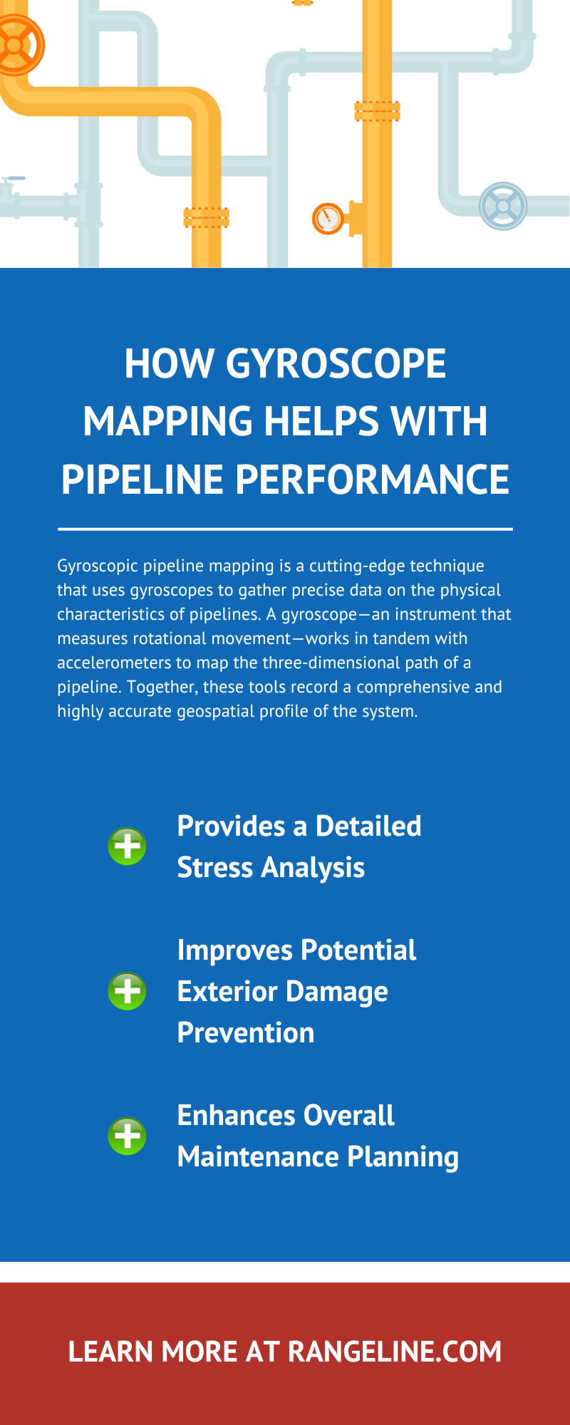
Provides a Detailed Stress Analysis
Pipelines endure constant operational stress due to internal pressures, thermal fluctuations, and external environmental forces. Gyroscopic mapping systems capture a precise geospatial route of pipelines and detect deviations, strain points, and improper alignments. Such comprehensive stress analysis is crucial for understanding weak areas that might be vulnerable to rupture or collapse over time. Furthermore, the data collected allows engineers to quantify stress levels at various points in a pipeline, delivering valuable insight for both short-term troubleshooting and long-term design improvement.
For infrastructure reliant on aging pipelines, understanding potential weak spots is essential. Often, small shifts or misalignments in pipe sections can compound into significant performance issues if left unchecked. By identifying these weaknesses early, operators can take proactive steps to rectify the problem before more extensive damage occurs.
Improves Potential Exterior Damage Prevention
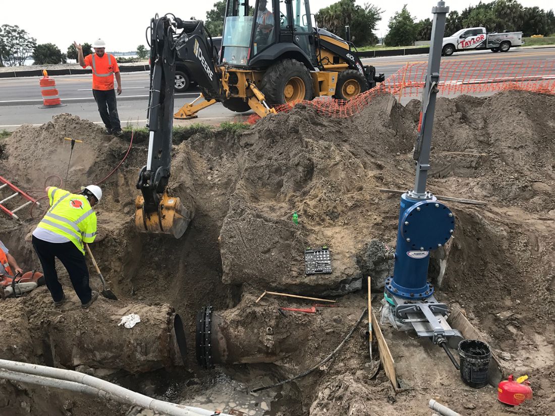
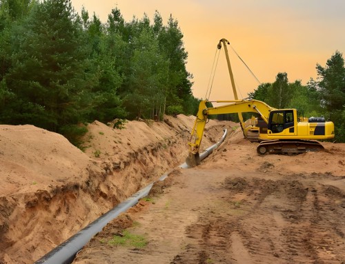
Since prevention is one of the primary goals of gyroscopic pipeline mapping, it’s helpful when it comes to working around existing pipelines. By delivering granular information on the trajectory and position of pipelines, gyroscopic tools correctly identify the location of underground pipes. This information makes it easier to know where they are when doing work in the area or installing new structures that stretch underground.
An added advantage of this is its ability to monitor external pipeline conditions. This allows for surveying pipelines situated in regions prone to earthquakes, ground movement, or flooding after an event to ensure integrity. This makes gyroscopic mapping an invaluable tool for policymaking and risk assessment, as municipalities can prioritize resources toward the most vulnerable segments of pipeline networks.
The ability of gyroscopic mapping to integrate seamlessly with external inspection techniques, such as inline video surveillance or robotic assessments, ensures a holistic approach to keeping pipeline networks safe and operational.
Enhances Overall Maintenance Planning
Effective maintenance planning begins with good information, and gyroscopic mapping delivers exactly that. By providing pipeline teams with a detailed and accurate visual model, this technology prioritizes maintenance schedules and allocates resources efficiently. Maintenance operations based on guesswork lead to unnecessary costs and downtime. Gyroscopic mapping eliminates this uncertainty, allowing operators to refine their plans based on hard data. That means your hot tap contractors won’t have to waste time trying to locate where your pipeline is when an issue arises.
Additionally, gyroscopic data can help to create predictive maintenance models. By using historical data and geospatial analysis, these models can make projections about potential risks, future weak points, and long-term performance trends. This capability empowers organizations to execute maintenance activities precisely when and where we need them most while avoiding costly delays or interruptions.
For example, a municipality relying on miles’ worth of pipelines to transport drinking water might struggle to schedule repairs across such a vast network without comprehensive data. Gyroscopic pipeline mapping ensures that their maintenance isn’t only reactive.
Why Go With Gyroscopic Mapping?
There are many reasons gyroscopic pipeline mapping has grown in popularity. For businesses seeking sophisticated solutions amid rising operational challenges, it’ll be worthwhile to know what those are.
No Aboveground Tools Needed
Traditional methods of pipeline mapping often involve extensive coordination with aboveground tools, which can lead to logistical headaches and higher costs. Gyroscopic tools operate entirely within the pipeline itself. This means there’s no need to set up external equipment or deal with disruptions to local infrastructure or property. Such flexibility is particularly helpful in urban areas where aboveground surveying may not always be practical or permissible.
With a focus on reducing complexity, gyroscopic mapping minimizes the time and cost associated with traditional methodologies. It’s a cost-efficient and logistically simpler method, making it a standout choice worldwide for diverse operational contexts.
Works at Any Depth
One of the most appealing features of gyroscopic pipeline mapping is its ability to provide exceptional accuracy at virtually any depth, whether pipelines are in subterranean locations or submerged wells. This capability ensures that workers can still assess pipelines spanning challenging terrains, such as mountainous or offshore regions.
Depth tolerance is particularly critical for applications where pipelines run deep below the earth in regions with inherent geographic constraints. Gyroscopic mapping easily overcomes such obstacles, providing a new level of accountability and transparency for pipeline operations that previously lacked adequate diagnostic tools.
It’s Quick and Easy
While precision is paramount when dealing with pipeline mapping, speed and simplicity are significant factors as well. Gyroscopic systems excel in these areas, allowing groups to implement them in a shorter timeframe than most traditional survey methods. The straightforward design of gyroscopic tools makes them easy to deploy within a pipeline, drastically reducing downtime for businesses.
Speed matters in maintenance and crisis management. When an urgent issue arises, businesses can’t afford delays caused by slow mapping processes, lost external equipment, or inaccurate readings. Gyroscopic mapping technology enables teams to act quickly and decisively.
With the explosion of digital technology and advancements in AI-driven data analysis, the process of gyroscopic mapping is becoming increasingly user-friendly. Data interpretation and visualization are easier than ever, ensuring that even small in-house teams benefit from its efficiency.

